Selected Maps
Here are a few of the maps for StarBreak. The original was drawn on paper with a Bic Mechanical Pencil and has been mangled hundreds of times by my meager Paintshop Pro skill.
Big World Map
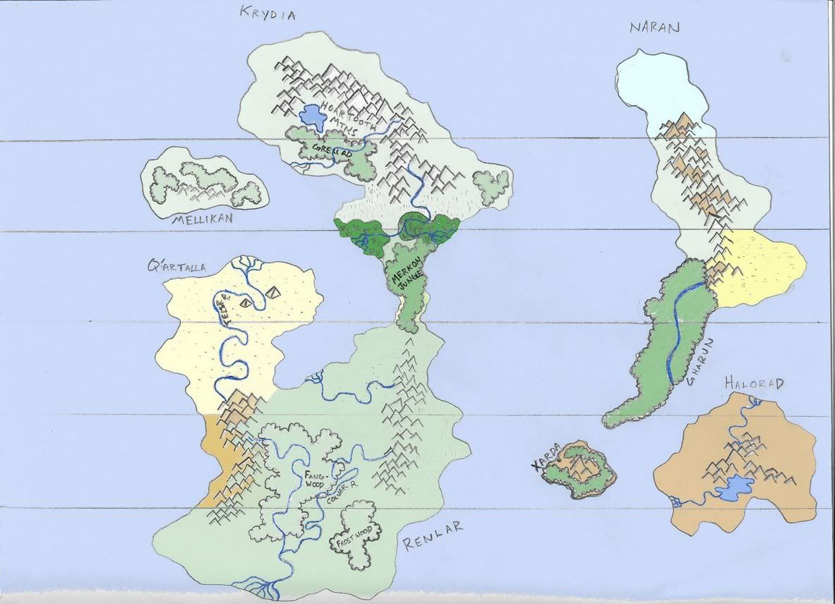
The World of StarBreak, my game world. This map kicked off my first persistent-world in 13 years of playing D&D sometime around July 2004. This file is huge.
Big Krydia Map
A large map of the Krydian Continent, complete with Map Scale. Skarn City is on the southern edge of the east coast.
-Note: If you print this map out on 1/4" Graph paper, Landscape, and Scaled to fit, you will have a travelling map of Krydia where each square is equal to 100 Miles. I'm working on a better standard, but it's a tricky rhyme to rock.
-Butcher
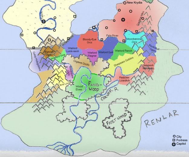
Big Renlar Map
A map of Renlar (south of Krydia), Including Fangwood and a large portion of New Krydia. Tribal boundaries for the Renlari tribes are also denoted.
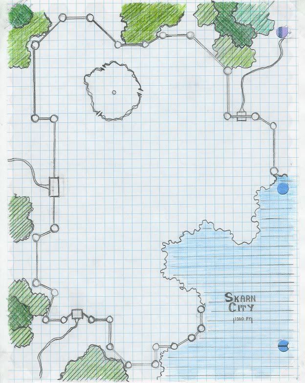
Superficial Skarn City Map
A map of Skarn City drawn by the Talrian explorer/spy Rehethmotep. This makes the city out to be around 135 square miles in land area.
Comments (0)
You don't have permission to comment on this page.